We share your concern for accuracy
DATIE INS SURVEYING TOOLS
Our partner's advanced survey equipment solutions are designed to meet the highest standards of accuracy. From precise gyroscopes and automatic deformation monitoring systems to high-precision GPS and state-of-the-art track geometry equipment, our tools ensure you get reliable data every time. Trust in our technology for consistent, professional results that support your most critical projects.

Gyroscopic Pipeline Surveying
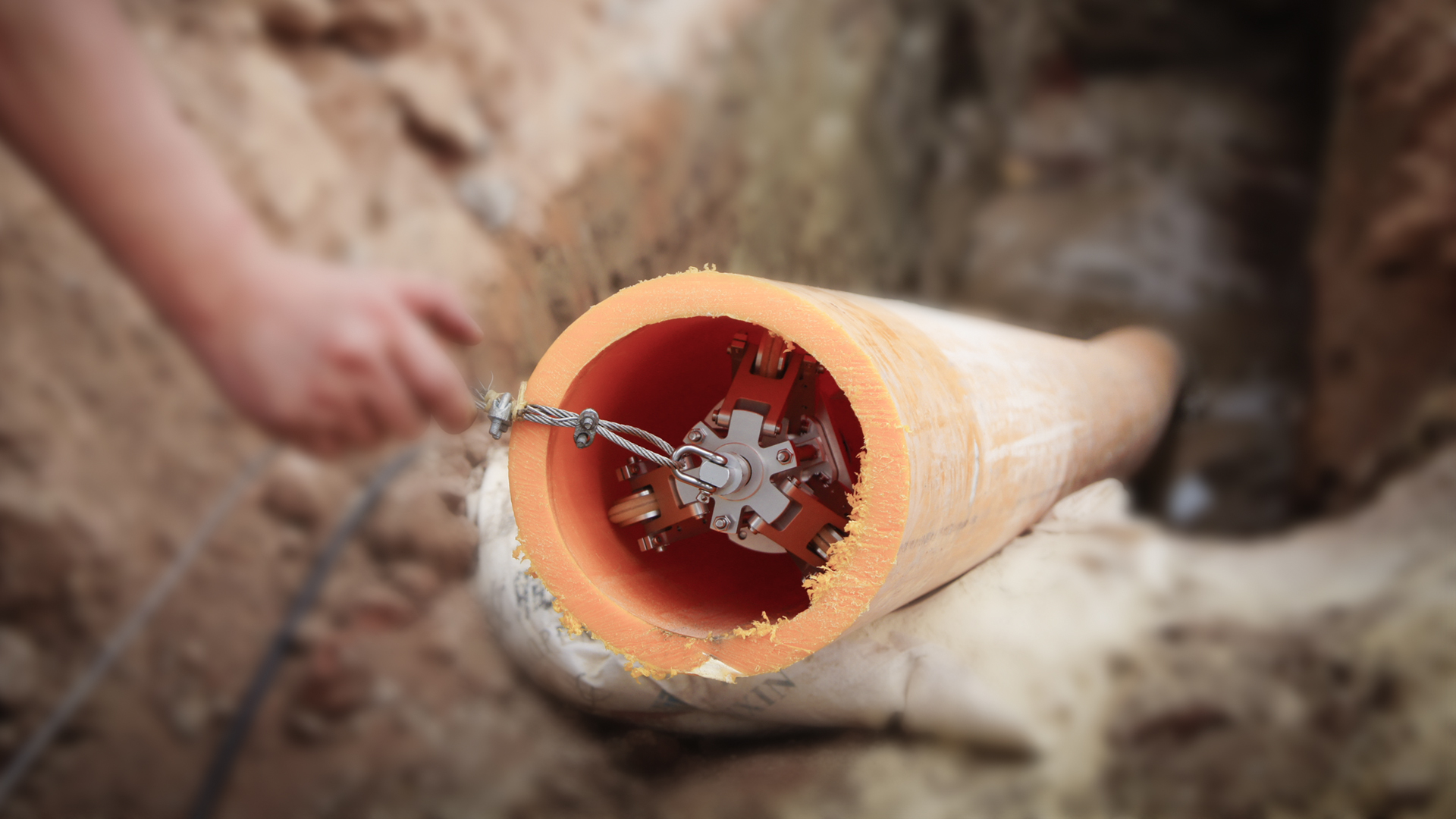
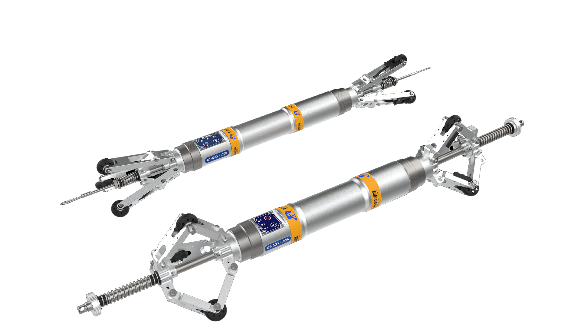
Our system uses advanced inertial measurement technology to accurately map underground pipelines. By knowing the coordinates at both ends of a pipe, our device travels through the pipe just once to record a continuous path of its exact location underground. Unlike traditional radio or radar detection methods, this technology provides reliable results for surveying and as-built verification. The DT-GXY-300 series offers three models, each designed with different levels of IMU sensors to suit various applications.

.png)
.png)
Product features
- High precision—our products have ranked above leading international brands for three consecutive years in a major Asian competition.
- Compact design—suitable for measuring pipes with an inside diameter as small as 32mm.
- Extended battery life—operate continuously for up to 12 hours on a single charge.
- Advanced features—accurately locates weld seams and measures pipe curvature.
- Compatible with a camera inspection system.
- Highly stable and reliable—delivers accurate results even with weld seams.
- Smart algorithms—maintains accuracy even during back movements or brief pauses.
- Easy setup—integrated design with no connecting cables required.
- User-friendly operation—features a unique USB drive and keyboard button design for easy use anywhere.
- No annual calibration required and unlimited license included.
Explore Our Full Product Range
Discover our advanced automatic deformation monitoring systems, designed to detect even the slightest changes and keep your infrastructure secure. Our high-precision GPS units deliver reliable positioning data you can trust, no matter the environment. In addition, our state-of-the-art track geometry equipment ensures every measurement is accurate and dependable, supporting safer and more efficient operations across your projects. With our full range of products, you have the tools you need to handle every surveying challenge with confidence.

Automatic Deformation Monitoring
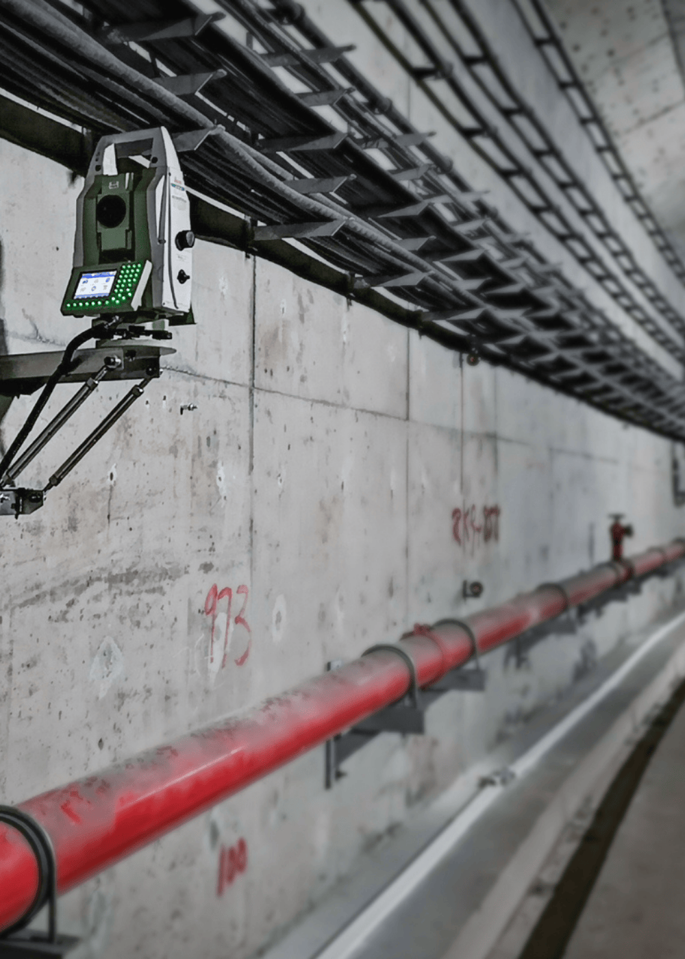
The IMC-1000 is built for real-time deformation monitoring. It connects seamlessly with leading brands of total station robots, GNSS, and other monitoring sensors. With features like remote control, data calculation, storage, communication, and power management, it provides accurate and complete monitoring data. Ideal for tunnels, dams, bridges, and more, the IMC-1000 helps keep structures safe.
In HDD, automatic deformation monitoring for rail systems involves using technology to continuously track changes in track geometry and surrounding areas, providing real-time data on potential issues and allowing for proactive maintenance. This technology helps ensure railway safety and efficiency by detecting movements that could lead to derailments or other problems.

Track Geometry Measurement
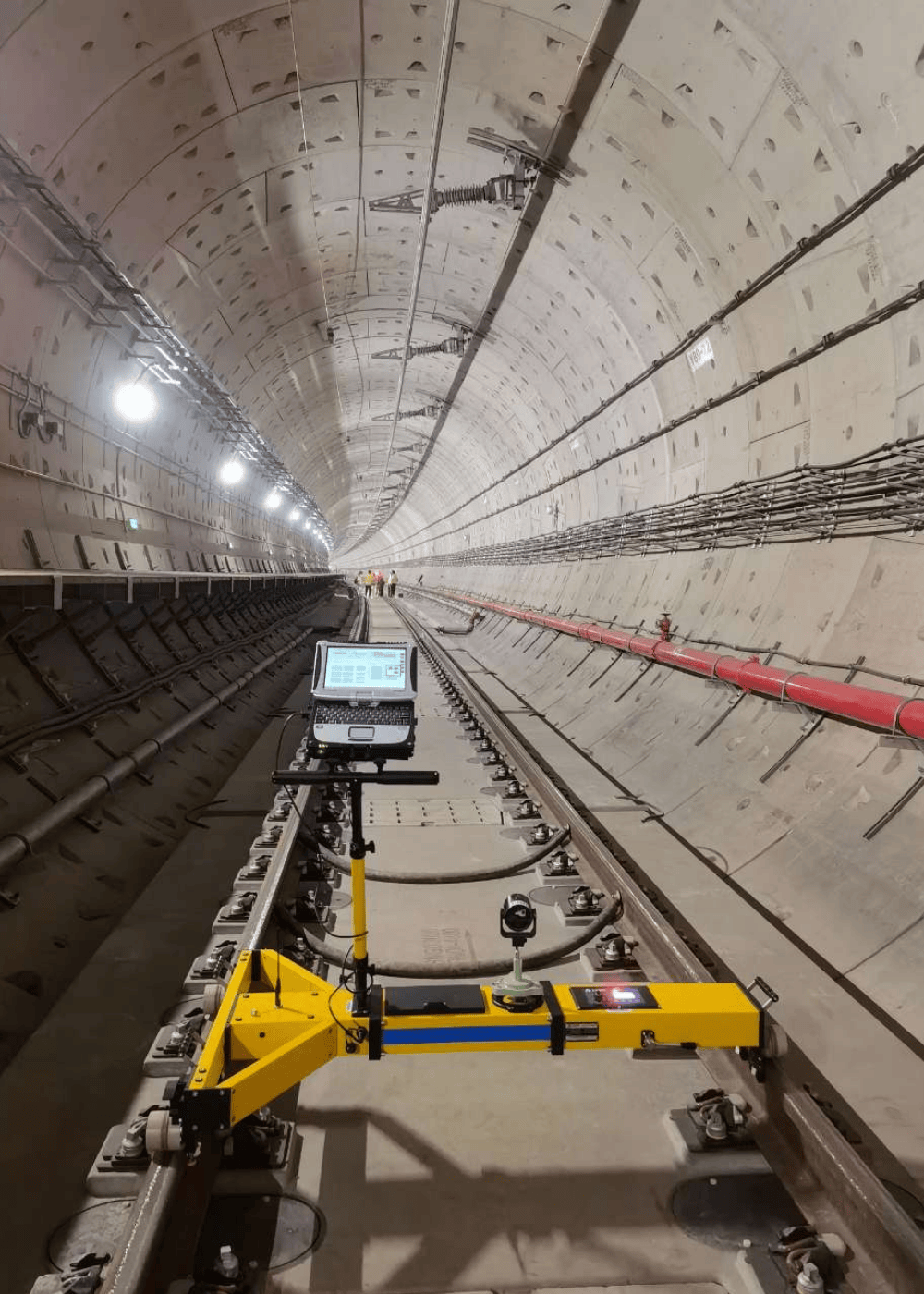
This product is widely used for precision measurements during the construction and maintenance of high-speed railways, subways, trams, and other tracks. It provides essential technical support to ensure the safety and comfort of passengers. By using innovative inertial measurement technology, it greatly improves the efficiency of measuring key track geometry parameters such as gauge, cant, alignment, elevation, and wave patterns (with chord lengths from 10m to 300m). This data helps construction teams create the best possible track adjustment plans. When equipped with a 3D laser scanner, the system also quickly and accurately inspects tunnel segments for diameter, ovality, convergence, and structural defects.
.png?width=1000&height=1400&name=GPS%20(1000%20x%201400%20px).png)
GPS GNSS Receiver
Ideal for applications requiring both high precision and speed, including cadastral work, construction layout, deformation monitoring, and UAV-based surveys.
Thanks to its high-precision inertial measurement unit (IMU), the MR4010 allows for tilt surveying without pole leveling at inclinations up to 60°.
With its built-in HD wide-angle camera, the MR4010 introduces AR-assisted stakeout, allowing users to visualize stakeout targets directly within real-world environments
%20(1)-1.png?width=200&height=71&name=Foreal-Logo-square-(300%20%C3%97%20300%20px)%20(1)-1.png)